Post by Archangel on Jul 5, 2006 23:43:09 GMT -5
Pretty drive back and forth across a streambed, a few minor rocks, a little bit of driving up the streambed itself (fun with the water flowing). Great trail for a short day's ride/picnic. Nice and cool up in the tree's, and the stream is a great place to rest your feet. Probably not a great trail for a big group, as there isn't much turnaround/parking room towards the top.
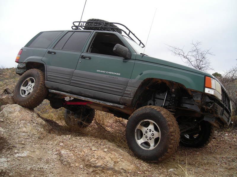
This isn't too tough, although stock vehicles may bounce against some rocks...the trail crosses back and forth across a streambed, which had about a foot of water at the deepest points. Towards the top, you'll run into some "Abandoned Mine" signs...the trail continues past these, but quickly deteriorates several hundred yards further. This doesn't matter, because at this point, you're only about 1 mile away from the Mt. Wrightson Wilderness area, which you can't drive in anyway
Jeeps, 4-Runners, Quads, and a Tacoma make it to the "end" without many issues. 3.0 is probably a little on the high side of a rating...stock vehicles with new drivers will probably be a little nervous, but for the serious runners, this is just a nice little cruise thru the park The further you go down the trail, the more exciting it gets. Keep and eye out for folks on smaller vehicles (lots of great mountain bike trails up here).
Cave Canyon trail is located in Gardner Canyon, and seems to head towards Mt. Wrightson. From Tucson, I-10 to 83 towards Patagonia, the Gardner Canyon turnoff is on the left hand side, about 9 miles before Sonoita (so there's a close place for gas and air and food).
Follow the signs that point towards Apache Springs Ranch (Something like that...). The ranch will be on the left, looks like a nice place. Pretty soon after passing the ranch, you'll begin the climb thru Cave Canyon.